AI Insight
NASA's Landsat 8 satellite captured imagery of Anak Krakatau volcano erupting on September 5, 2026, located between the Indonesian islands of Java and Sumatra. While the volcano regularly experiences mild eruptions, an intense event in early September 2026 lasted over 24 hours, ejecting significant amounts of gas and ash into the atmosphere. This major eruption caused widespread flight disruptions affecting thousands of flights and deteriorated air quality across parts of Indonesia, including the capital Jakarta.
Why it matters
This monitoring demonstrates the critical role of satellite observation in tracking volcanic activity that can have immediate impacts on aviation safety, air quality, and public health across densely populated regions. Early detection and documentation of such eruptions enable authorities to issue timely warnings and implement safety measures to protect civilian populations and infrastructure.
Understand the Science
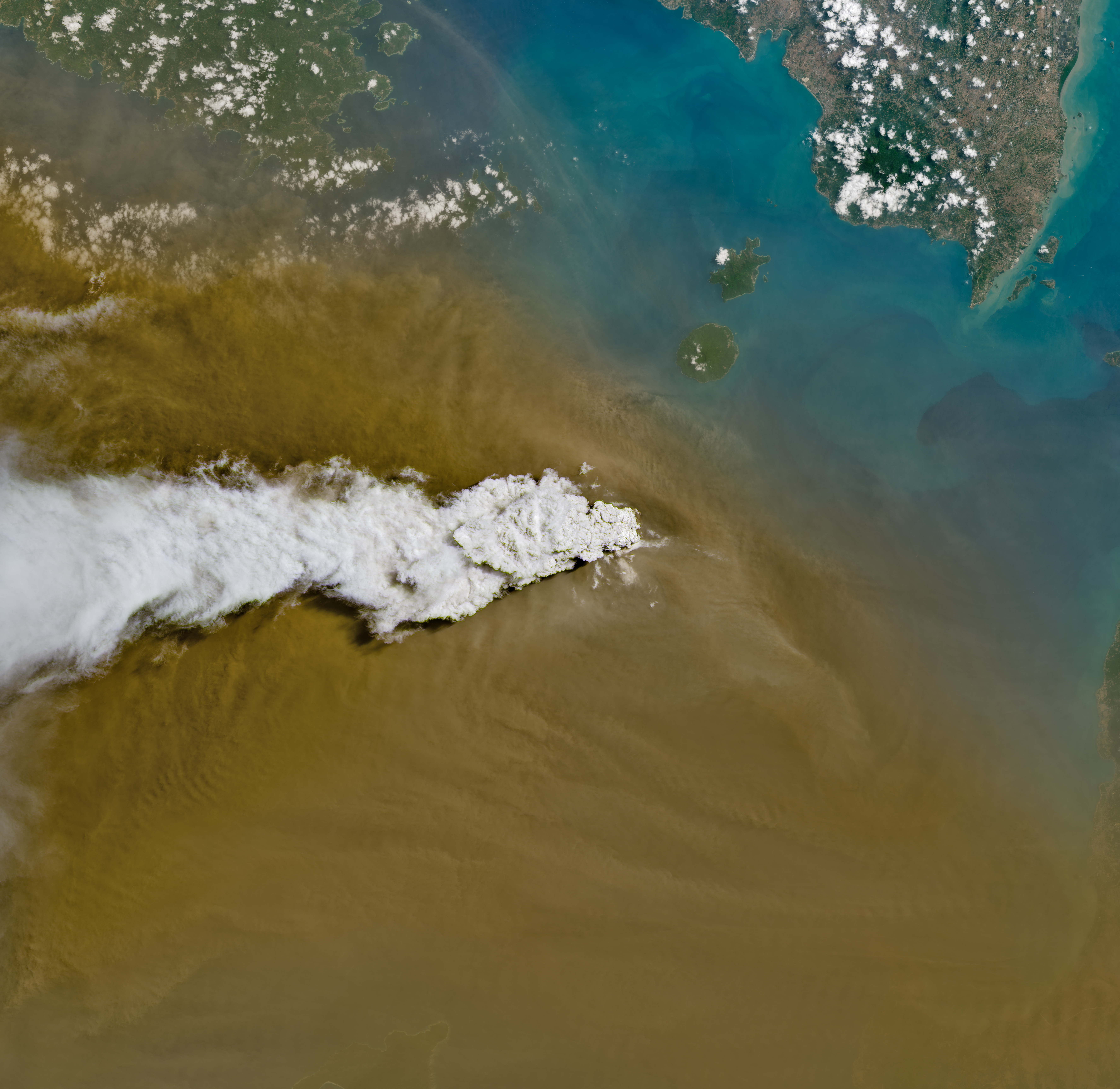
Anak Krakatau erupts ash and volcanic gases in this Sept. 5, 2026, image acquired with the OLI (Operational Land Imager) on Landsat 8. Eruptions are a regular occurrence at Anak Krakatau, a small volcano between the Indonesian islands of Java and Sumatra. Much of its activity remains relatively mild, but it occasionally puts on more impressive and hazardous shows of force. In early September 2026, a booming eruption lasting more than 24 hours sent gas and ash high into the atmosphere, disrupting thousands of flights and degrading air quality in parts of the country, including the capital city of Jakarta.
Learn more about the recent eruption.
Image credit: NASA/Michala Garrison
Source: Indonesia’s Anak Krakatau