AI Insight
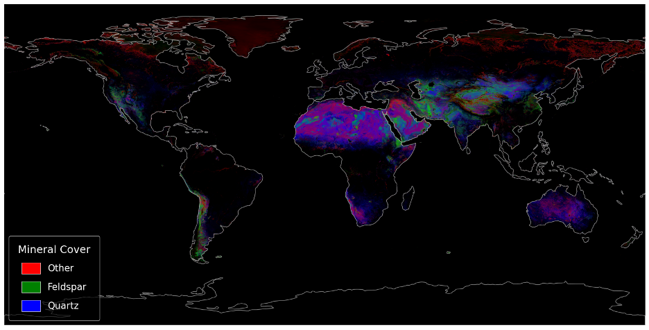
Researchers have created the first global maps showing the distribution of quartz and feldspar, Earth's two most common surface minerals, by combining visible and thermal infrared satellite data. The technique also provides information about mineral grain sizes, overcoming previous limitations where individual satellite measurements could not distinguish these minerals from vegetation and other surface materials. Future improvements in spectral resolution will be needed to better identify fine-grained particles in the clay and silt size ranges.
Why it matters
These maps provide crucial data for Earth System Models to better simulate how mineral dust affects climate through its impacts on sunlight reflection, cloud formation, and atmospheric processes. Improved understanding of dust composition could reduce key uncertainties in climate predictions and enhance models of nutrient transport and snow melt rates.
Understand the Science
Editors’ Highlights are summaries of recent papers by AGU’s journal editors.
Source: AGU Advances
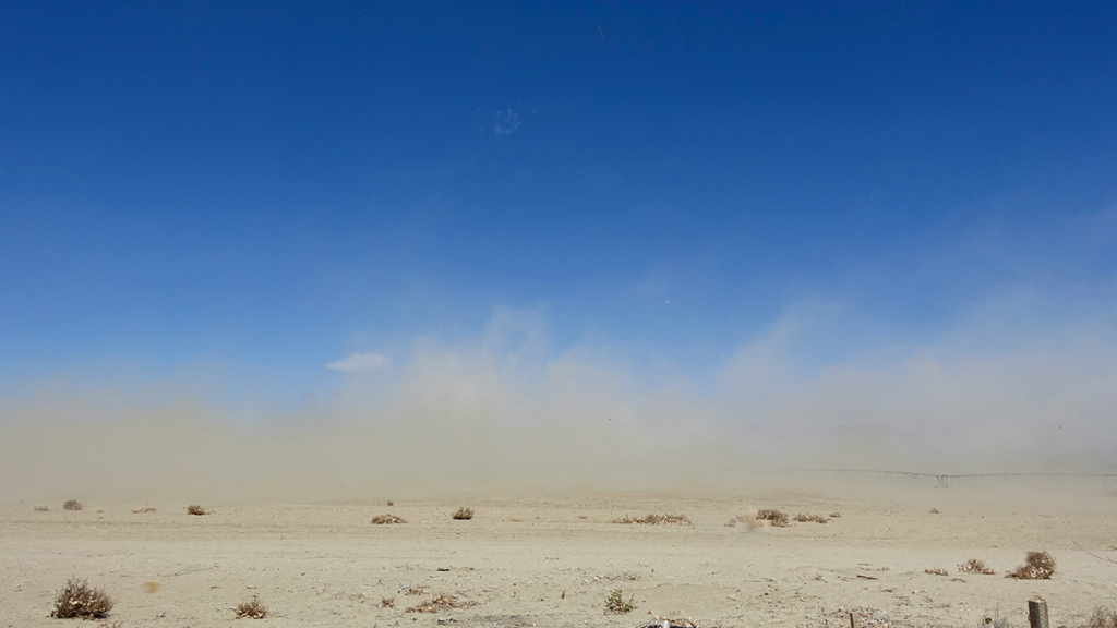
Mineral dust shapes Earth’s climate by influencing sunlight, clouds, nutrient transport, and even how quickly snow melts. But scientists have historically struggled to map the two most common minerals on Earth’s surface, quartz and feldspar, because commonly used satellite measurements either do not capture their diagnostic spectral features or are confounded by other minerals and vegetation.
Grant et al. [2026] show that combining visible to thermal infrared satellite data can overcome this limitation. By merging these complementary signals, the authors produce the first global maps of quartz and feldspar distributions as well as information about mineral grain size. Further improvements will require additional data and development, such as improved spectral libraries and sensor capabilities needed to better distinguish fine-grained quartz and feldspars. Higher spectral resolution will help separate these minerals in the clay and silt size ranges, which is crucial for Earth Systems Models simulations of dust schemes.
This work offers a critical first step in bridging a long-standing gap between remote sensing observations and the mineral data needed for Earth System Models. With better information on dust composition, these results could improve how models represent atmospheric processes, radiation, and cloud formation—key uncertainties in climate predictions.
Citation: Grant, K., Brodrick, P. G., Pérez Garcia-Pando, C., Gonçalves Ageitos, M., Celestian, A. J., & West, A. J. (2026). Mapping quartz and feldspar areal abundance and grain sizes using integrated VTIR data. AGU Advances, 7, e2025AV002151. https://doi.org/10.1029/2025AV002151
—D. Monteverde, Associate Editor, and E. A. Davidson, Editor, AGU Advances