AI Insight
Earth observation data from satellites, drones, and ground-based sensors provide critical information for disaster preparedness, response, and resilience by capturing frequent, high-resolution information about environmental conditions, infrastructure, and extreme weather events. A new open access book published by AGU and the Geological Society of London compiles multidisciplinary research on how these technologies, combined with artificial intelligence, enable near-real-time disaster response and long-term trend analysis for policy development. The volume editors chose open access publication to ensure researchers, practitioners, and communities worldwide, particularly in low- and middle-income countries with limited resources, can access current methods and technologies for disaster mitigation.
Why it matters
Making Earth observation data and analytical methods freely available through open access publishing enables emergency managers and policymakers in resource-constrained regions to develop early-warning systems and coordinate more effective disaster responses. Long-term datasets like Landsat, combined with AI-powered analysis, allow communities to identify vulnerable areas and strengthen resilience to future extreme events.
Understand the Science
Editors’ Vox is a blog from AGU’s Publications Department.
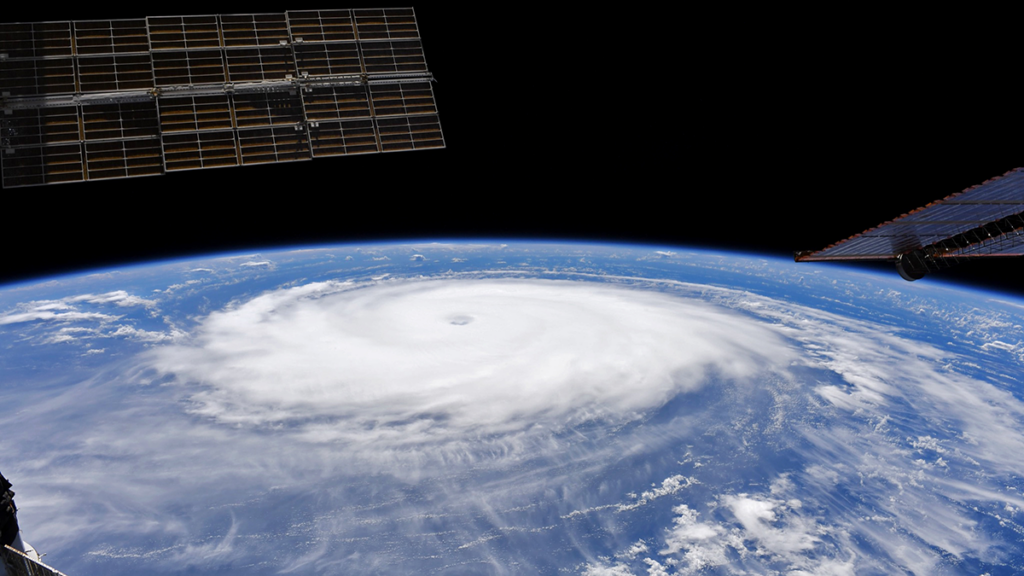
Natural hazards can have disastrous and costly impacts on society, but Earth observations data enable scientists, policymakers and response teams to be more prepared and coordinate efforts.
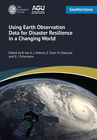
The Volume Editors of Using Earth Observation Data for Disaster Resilience in a Changing World, published in partnership with AGU and the Geological Society of London, decided that an open access book was the most effective and timely path for sharing their work with those who need it. Their multidisciplinary book curates current scientific, technological, and policy-oriented research on the use of Earth observations to address disaster adaptation, mitigation, and resilience. This Open Access Week, we asked the Volume Editors about the current state of Earth observation data analysis, the benefits of making these insights freely available to readers, and future prospects for the technology and its applications.
In simple terms, what are Earth observations, and how can they be applied to disaster mitigation and resilience?
Earth observation (EO) datasets are collections of information about the Earth’s physical, chemical, biological, atmospheric systems that are gathered through remote sensing technologies such as ground-based (e.g., weather stations and stream gauges), airborne (e.g., drones) and space-based sensors (e.g., satellites). These datasets capture changes in things such as human activity and land use, environmental conditions, physical and urban systems, and emerging extreme weather events. When a disaster occurs, they offer an accurate, timely picture of how it develops and affects critical infrastructure and communities because they are collected frequently (e.g., monthly or even hourly) and at a wide range of spatial resolutions (from very detailed centimeter- or pixeled-sized images to coarser kilometer‑scale data).
Earth observation data can support communities in responding to power outages, damaged roads, or floods. They help decision-makers guide communication, coordinate response and recovery, and reduce overall damage through faster, better‑targeted actions.
With long-term datasets like Landsat (available since the early 1970s), decision-makers can also analyze trends, understand where past disasters were most severe, and develop policies, regulations, and technologies that strengthen resilience to future events.
What are some of the latest Earth observation technologies covered in the book?
The book highlights the use of drones, synthetic aperture radar (SAR), and optical imagery across different disaster types and phases, from forecasting hazards to mapping impacts and losses. It also explores how AI is accelerating the processing and use of EO data, enabling more near–real-time response, planning, and resource allocation.
Why did you decide to publish your book open access?
Open access helps overcome barriers to information and supports the development of early-warning and decision-support systems.
Although EO applications in disaster resilience are growing, the field remains underexplored. With advancements in AI, computing power, and access to large volumes of EO data, there is significant potential to develop tools that support communities and emergency managers. By publishing the book open access, we aim to make current methods, datasets, and technologies broadly available to academics, practitioners, and communities worldwide—including those in low- and middle-income countries. These regions often face higher exposure to extreme events and have fewer resources for mitigation and recovery; open access helps overcome barriers to information and supports the development of early-warning and decision-support systems.
What benefits have you found from publishing your book open access, compared to a traditional model?
Open access allows chapters to be published digitally as soon as they are ready, rather than waiting for the complete printed book. This significantly shortens the time between completing research and disseminating it to educators, practitioners, and other users.
With its open-access model, we have observed (e.g., from GeoHorizons chapter metrics) that researchers and practitioners worldwide can access the book without any subscription limitations. We believe that such a model can reach a broader readership globally, particularly from low- and middle-income countries.
Who is the intended audience, and what do you hope they gain from the book?
The book is written for educators, researchers, and practitioners working across disciplines related to disaster adaptation, mitigation, and resilience—including natural hazards and technological incidents. Because EO data are increasingly accessible, communities can also benefit from this knowledge. As a multidisciplinary resource, the book aims to raise awareness of EO data and showcase its potential for developing tools, models, decision-support systems, and early warning systems that reduce disaster impacts and support investments in resilience.
Where do you see the future of Earth observations for disaster resilience heading in the next decade?
The book identifies several emerging challenges and opportunities:
- AI-related bias and misinformation: Generative and agentic AI may produce inaccurate or biased outputs, such as mischaracterizing community vulnerability or resilience. This misinformation can misguide resource allocation and potentially harm marginalized populations. Ethical and legal frameworks are essential to address these risks.
- Data poisoning and security threats: AI systems can be exploited—either intentionally or accidentally leading to corrupted or noisy datasets. Ensuring data provenance and applying guardrails to detect noise or manipulation will be critical.
- Model reproducibility and transparency: Rapid, decentralized AI development has led to siloed models. If developers lack disaster domain expertise, resulting outputs may be unreliable. Policymakers, emergency managers, researchers, and communities must understand model development workflows and uncertainties to prevent errors that undermine resilience-building efforts.
- Data fusion for continuous, coherent disaster monitoring: No single satellite mission can capture a disaster as it unfolds. For example, optical sensors are limited by cloud cover and daylight, and radar (SAR) sees through clouds but is harder to interpret. Fusing observations from multiple sensors and constellations, including optical, SAR, thermal, and commercial SmallSat fleets, supported by in situ and crowdsourced data, can produce a more frequent and spatially coherent picture of how an event evolves. Instead of isolated snapshots, emergency managers could receive a continuously updated product, such as a flood extent or wildfire perimeter map refreshed every few hours at consistent resolution. Achieving this requires harmonized calibration, common data standards, fusion methods, and effective and responsible use of AI.
- Onboard processing and direct delivery to relief agencies: Another important shift will be moving analysis from the ground to the satellite itself, or “onboard edge computing.” Traditionally, raw data must be downlinked, processed, and analyzed before reaching responders, which can take hours or even days. With onboard edge computing and AI, satellites can detect floods, fires, or damaged infrastructure in orbit and transmit only the relevant, ready-to-use information—such as alerts, maps, or coordinates—directly to relief agencies, sometimes within minutes of acquisition. Early demonstrations such as the European Space Agency’s Φsat missions have shown this is feasible. Onboard processing also reduces bandwidth demands and could deliver information to field teams with limited connectivity. However, it amplifies the transparency concerns raised above; because onboard models make decisions before humans see the underlying data, they must be rigorously validated, well documented, and designed so that raw data remains available for verification.
—Bandana Kar (yourbandana75@gmail.com;  0000-0002-0510-658X), National Laboratory of the Rockies, USA; Albert J. Kettner (0000-0002-7191-6521), University of Colorado Boulder, USA; ZhiQiang Chen (0000-0002-0793-0089), University of Missouri – Kansas City, USA; Maggi Glasscoe (0000-0002-4408-2517), University of Colorado Boulder, USA; and Guy J. Schumann (0000-0003-0968-7198), RSS-Hydro, Luxembourg
Using Earth Observation Data for Disaster Resilience in a Changing World [https://www.lyellcollection.org/toc/geohorizons/1/1], 2027.
Browse all accepted online for free.
Editor’s Note: It is the policy of AGU Publications to invite the authors or editors of newly published books to write a summary for Eos Editors’ Vox.
Citation: Kar, B., A. J. Kettner, Z. Chen, M. Glasscoe, and G. J. Schumann (2026),Opening access to Earth observation data for disaster mitigation, Eos, 107, https://doi.org/10.1029/2026EO265039. Published on 21 October 2026.
This article does not represent the opinion of AGU, Eos, or any of its affiliates. It is solely the opinion of the author(s).
Text © 2026. The authors. CC BY-NC-ND 3.0
Except where otherwise noted, images are subject to copyright. Any reuse without express permission from the copyright owner is prohibited.
Source: Opening Access to Earth Observation Data for Disaster Mitigation